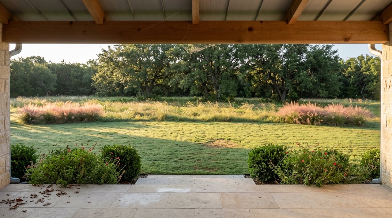
Ask five Copper Canyon residents where they walked their dog last weekend and four of them will say the same word: Pilot Knoll. There is no strip of sidewalk-lined subdivision to wander here, no downtown grid, no dog park with a fenced lawn and a water fountain. The town's large-lot zoning and lack of commercial development mean there is exactly one place most people go when they want to move on foot through something other than their own acreage. What most of those same residents have never stopped to ask is who actually owns the ground under their feet when they do it.
The answer is not the town.
The Trail Everyone Means When They Say "Pilot Knoll"
The trail that carries all that foot traffic runs from Chinn Chapel Road on the Copper Canyon side east to the Pilot Knoll Campground, tracing Hickory Creek along the way. AllTrails logs the out-and-back version at 8.1 miles with roughly 223 feet of elevation gain, a route long enough to fill a morning but with none of the technical difficulty that would keep casual walkers away. The footing is sandy loam dirt with some rock breaking through, single-track in places and wide enough for two horses side by side in others. Shade covers long stretches of it, which matters more in a Texas August than any trail guide will tell you.
It is a working multi-use trail, not a paved rec-center loop. Hikers, trail runners, and horseback riders share it. Bicycles and motor vehicles are prohibited outright, and dogs are welcome on leash. There is no fee to park or walk it. There is also, worth knowing before you go, no water available anywhere along the trail or at either parking lot, and no restroom facilities at the Pilot Knoll trailhead lot itself. The only restrooms and showers sit inside the campground further along.
A short list, if you are packing for it:
- Water for yourself and any dog, since none exists on the trail
- Real footwear rather than trail sandals, since the sandy loam turns slick with any moisture
- A leash, since off-leash dogs are not part of the deal here
- An early start in summer, since shade thins out toward midday
Land the Town Doesn't Own
Here is the part that surprises most people who have hiked this trail a hundred times without ever looking into it. Pilot Knoll Park sits on land leased from the U.S. Army Corps of Engineers, and the Town of Copper Canyon maintains it through an easement rather than outright ownership. This is Corps property tied to the Lake Lewisville reservoir system, not a town-built park with a town budget behind it. That explains a lot about what the trail feels like on the ground. There is no irrigation system keeping grass green, no paved multi-use path, no elaborate signage program. It is federal reservoir land that the town has permission to use and keep walkable, not a municipal amenity designed from scratch.
Keeping it walkable is not a town staff job either. The Cross Timbers Equestrian Trail Association, a volunteer group known locally as CTETA, assists in maintaining and monitoring the trail. If you have ever noticed downed limbs cleared after a storm or a washed-out section repaired within a few weeks rather than a few seasons, that is volunteer labor from people who ride the trail themselves, not a contracted crew on a town payroll.
The equestrian side of this arrangement is more built-out than most walkers realize. There are three equestrian campsites within Pilot Knoll Park, each equipped with a picnic table, a fire grill, 50-amp electric service, and water, with parking spurs long enough to accommodate a trailer. A camping fee applies for overnight stays. This is not a bridle path added as an afterthought to a hiking trail. Horses were part of the design from the start, and the infrastructure reflects that.
Why the Trail Sometimes Disappears
Because this is reservoir land and not a drained, engineered park, the trail behaves like reservoir land. Sections can go muddy after heavy rain, and creek crossings can hold standing water for days afterward. The stretch that runs closest to the lakeshore has gone fully underwater when Lake Lewisville rose to extreme levels, according to trail reports from the equestrian association that helps maintain it. This is not a maintenance failure. It is the direct consequence of the Corps controlling water levels for flood management purposes that have nothing to do with recreational access. When you cannot get through a section of Pilot Knoll after a wet spring, you are seeing the same lake-level decisions that keep Lewisville's reservoir functioning as intended, just from the trail side rather than the boat ramp side.
Anyone who has lived here through a rainy season already knows to check conditions before committing to the full 8-mile stretch. What fewer people connect is why that unpredictability exists in the first place. It is not a poorly drained trail. It is a trail on land whose primary purpose was never recreation.
The Bridge at the End of It
Walk the eastern stretch of this trail system far enough and it connects to one of Denton County's oldest surviving structures: the Old Alton Bridge, a 145-foot iron truss bridge spanning Hickory Creek. It was built in 1884 by the King Iron Bridge Manufacturing Company, and it originally carried horses, later automobiles, over a crossing that had once been a popular ford for cattle. The bridge remained in active vehicle use for well over a century. Motorists had to signal with a horn before crossing its single-lane span, a detail that tells you how tight and how trafficked that stretch of road once was. It stayed that way until 2001, when a new concrete-and-steel bridge went in nearby and straightened out the sharp curves on both approaches.
Only after cars were rerouted did the old bridge become what it is today, a pedestrian link connecting the Elm Fork and Pilot Knoll hiking and equestrian trails. The bridge itself is over 140 years old. Its role as a trail connector is barely a quarter century old. It earned a spot on the National Register of Historic Places in 1988, and it carries a locally famous nickname, Goatman's Bridge, tied to decades of ghost stories that have drawn paranormal investigators and television crews out here for years. The folklore gets most of the attention online. The engineering history is the part worth knowing if you actually walk out there.
The Volunteers Keep Showing Up
None of this holds together without someone doing the unglamorous work of clearing storm debris and monitoring erosion year after year. The town's 2026 spring trail cleanup was originally scheduled earlier in the season and had to be pushed back due to weather, eventually landing on June 13, according to the Town of Copper Canyon's own event listing. That is not a large headline. It is the kind of small, recurring civic detail that tells you this trail is actively tended in the current year, not a static amenity described once on a town website and left alone. The Cross Timbers Equestrian Trail Association lists this kind of volunteer maintenance as a core part of what it does here, alongside monitoring the trail's condition between organized cleanups.
None of it is dramatic. A cleanup date moved by a few weeks because of rain is about as unglamorous as local news gets. But it is the reason the trail most Copper Canyon residents walk without a second thought stays walkable at all. Federal land, a town easement, a volunteer horse association, and a bridge that only became a footpath because of a road decision made in 2001. That is what is actually underfoot on a Saturday morning walk that most people would describe, if asked, as simply "going to Pilot Knoll."
If you are weighing what a piece of Copper Canyon acreage near this kind of access is actually worth, or how proximity to land like this factors into a longer-term purchase, Ryan Stoddard can walk through it with you. Schedule a free consultation.